 | HOME | ABOUT | LAKES | STREAMS | CONTACT | SUBMIT REPORT |
-
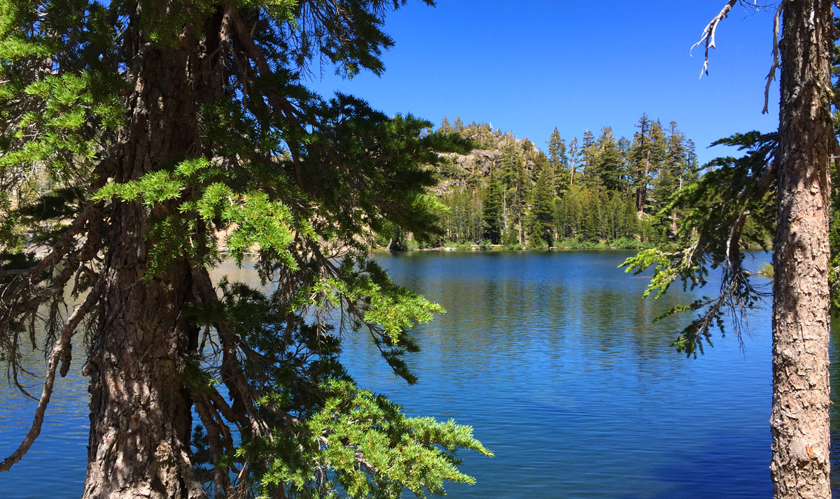
Lower Velma Lake - Desolation Wilderness
-
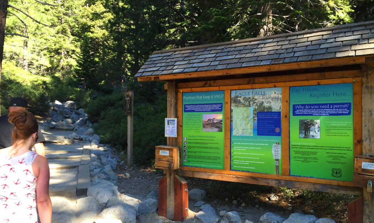
The trailhead to Lower Velma Lake
-
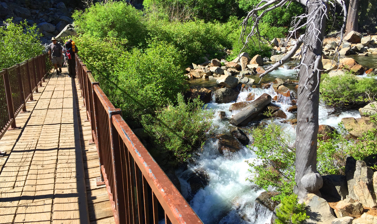
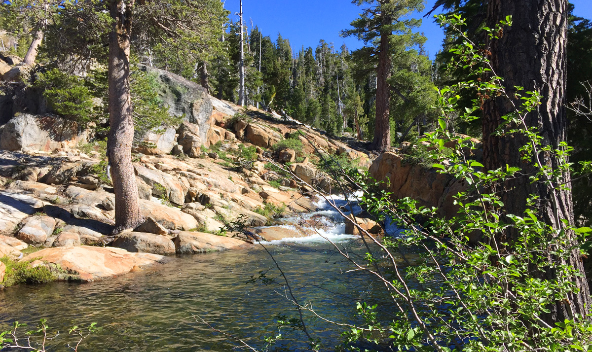
The bridge over Eagle falls
-

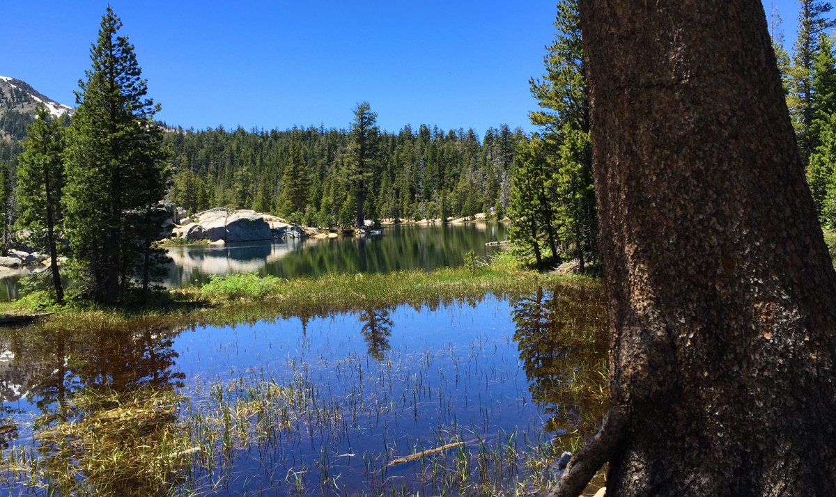
Eagle Lake, 1 mile into the hike
-
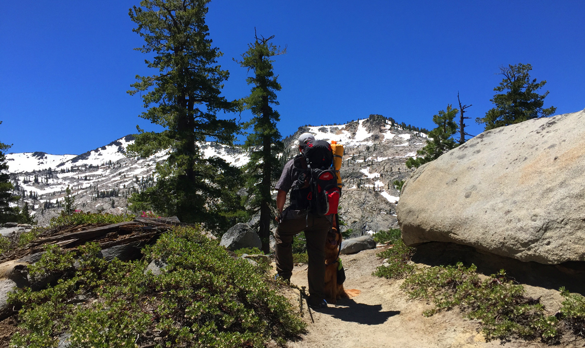
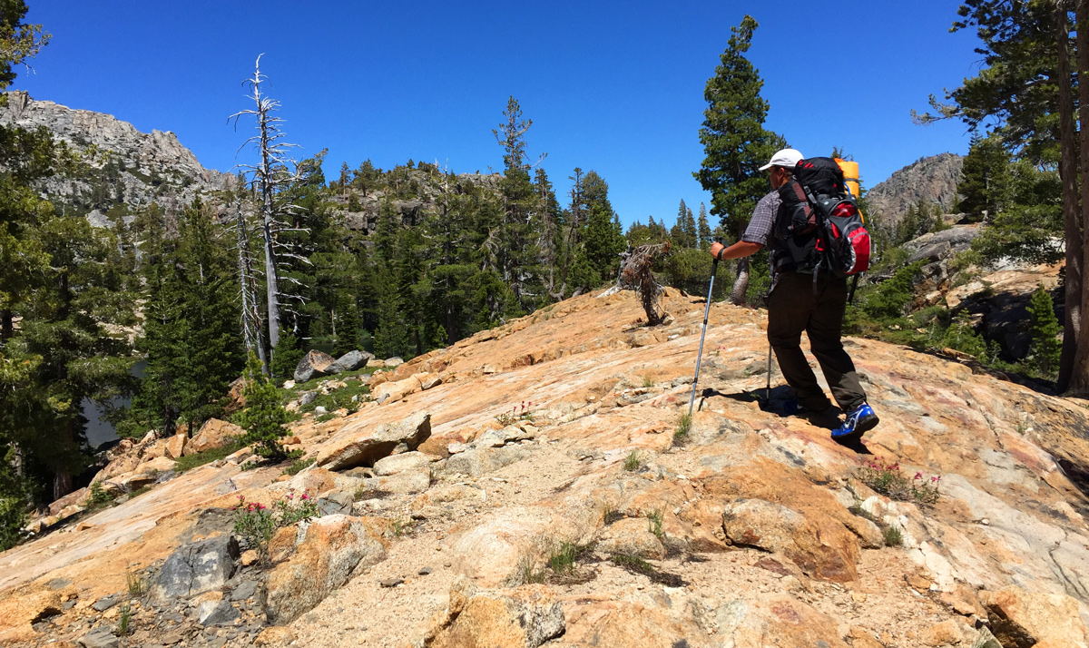
Stopping for a rest near the Dicks Lake turnoff
-
The lakelet below Upper Velma Lake
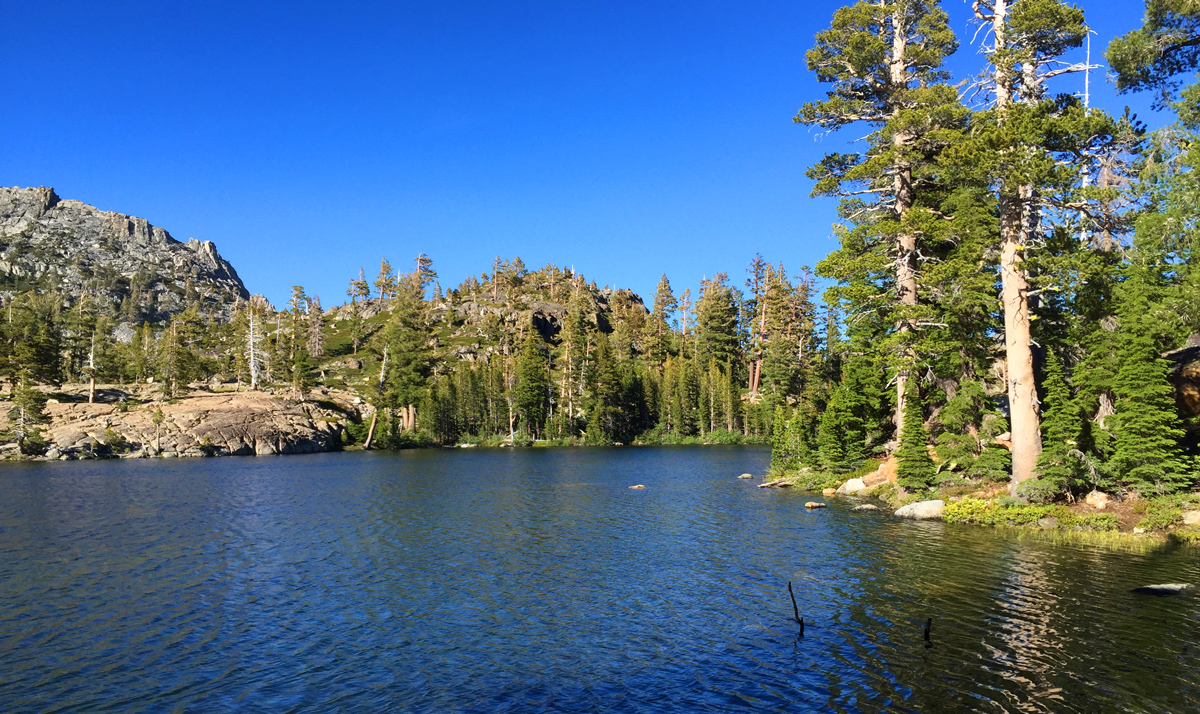
-
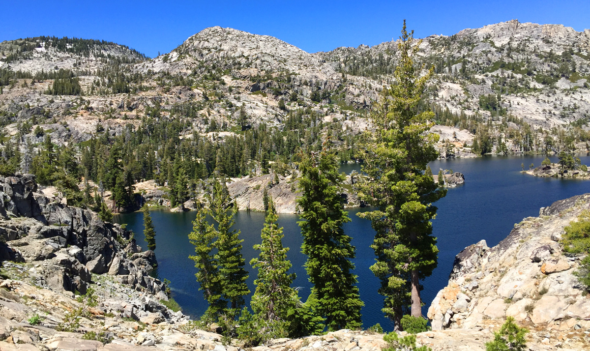
Lower Velma Lake from the approach
-
Searching for a camping area at Lower Velma Lake
-
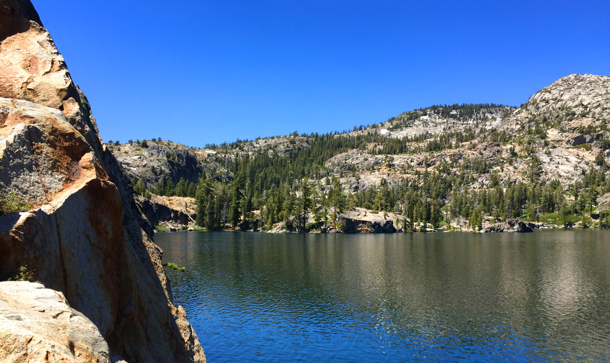
Lower Velma Lake
-
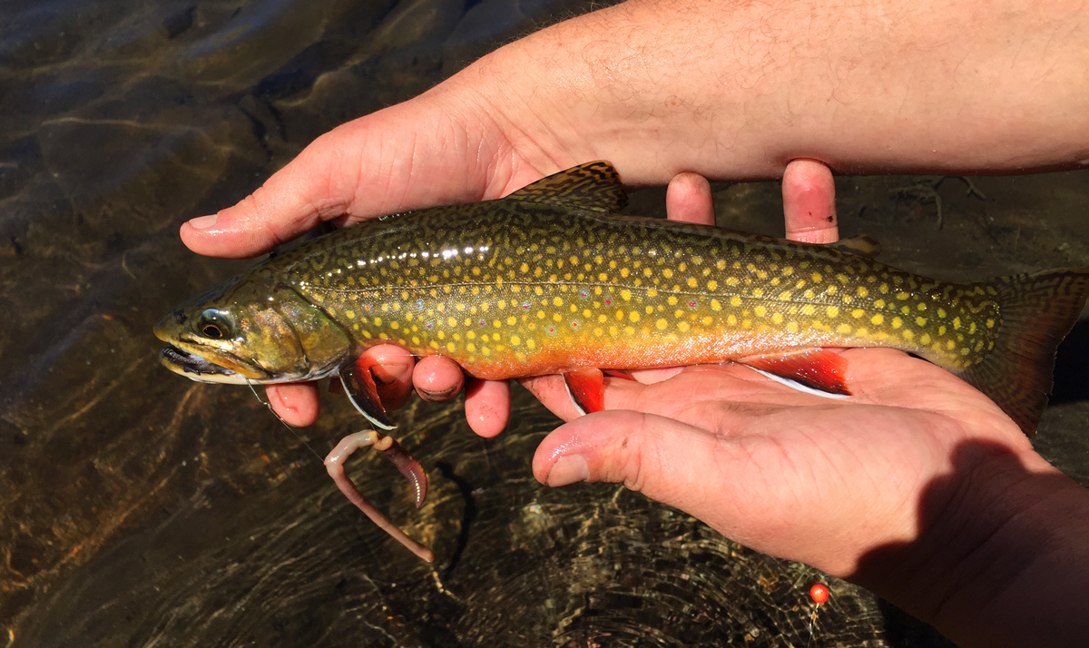
A nicely colored Brookie from Lower Velma Lake
-
Lower Velma Lake
-

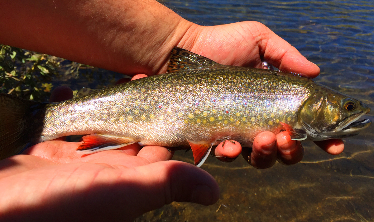
A Brook Trout released at Lower Velma Lake
-

Lower Velma Lake
-
Another Brook Trout released at Lower Velma Lake
-
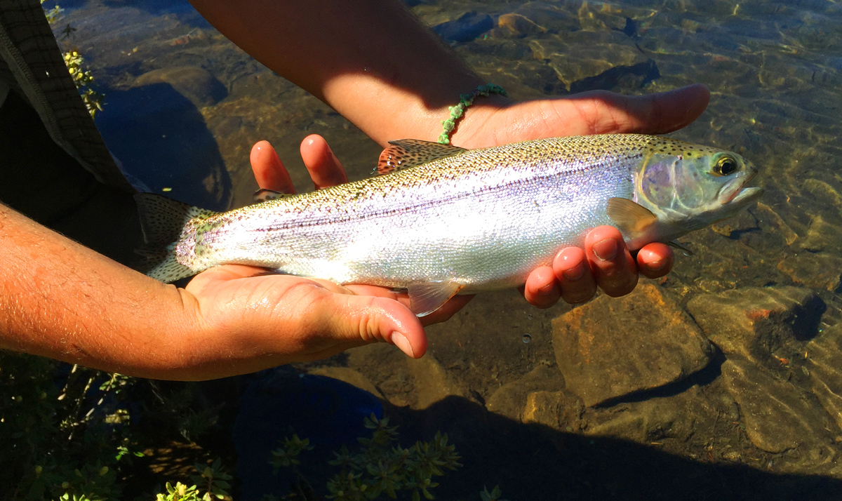
A nice Rainbow Trout
-
The inlet creek to Lower Velma Lake
-
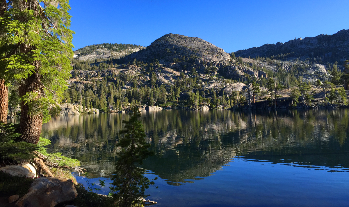
Lower Velma Lake in the morning


| Fishing: | |
 8/10 8/10 |
|
| Hiking: | |
|
6/10 |
|
| Scenery: | |
|
8/10
|
|
| Solitude: | |
|
4/10
|
|
| Distance: | |
|
|
|
| Map: | |

|
|
| Elevation Profile 1: | |

|
|
| Gallery: | |
|
|
|
|
|
|
|
|
|
|
|
|


Lower Velma Lake - (El Dorado County)
Desolation Wilderness
June 25, 2016
Getting There
The trek to Lower Velma Lake begins at the
Eagle Falls trailhead near Emerald Bay, Lake Tahoe.
The trailhead is very congested and parking can be difficult if you do not reach the trailhead
early. The hike to Eagle Lake is very popular so you can expect to see many, many day hikers on the
trail to Eagle Lake, and expect to see many hikers making their way to the Velma Lakes, Dicks Lake and
beyond.
The Hike
The hike to Eagle Lake is uphill but relatively easy due to it's short distance. Their are many steps along the
way as well as people. We stopped at Eagle Lake to take a break and snap a few photos. From there, the trail becomes
much more difficult as you ascend a great deal for a couple of miles. Expect a lot of steps and switchbacks. At the
top, you will reach the turnoff to Dicks Lake. Follow the sign right along the backside of the mountain top for about
3/4 mile until you begin to descend into the Velma Lakes basin. After descending for a while, Middle Velma Lake will
come into view. Eventually, you will reach the lakelet below Upper Velma Lake. There were many people here at this
spot on a Saturday when we were there. At this point, you will have to ford the creek which is only knee deep and not
running too hard to cross. We made it across with relative ease. After filling up on water, we continued on, following
the creek on the north side all the way down the hillside until you reach Lower Velma Lake. This stretch of hiking is easy
and there is a faint trail that we zigzagged across on our way down. Once we reached the lake, we realized we were cliffed
out on the west side so we traveled south looking for better shore access. We found a spot near the creek inlet where we
could set up our tents and fish as well.
The Fishing
The fishing at Lower Velma Lake was excellent for Brook and Rainbow Trout. We found that the fishery is sustaining
nicely and there were plenty of fish to catch. We fished from our camp site and caught about 10 fish. We released 7
and kept 3 for eating. That is what we had for dinner and had no need to eat any of the Top Ramen we brought as
the fish were husky and provided good meals.
We tried fishing the lake with spinners but had no luck. The fly fishing was difficult due to trees and rocks close to shore
which hampered my back casting. I attempted to fish the inlet creek where back casting was possible, but had no luck with
dry or wet flies.
Back at camp, Caleb landed many fish using an inflated night crawler and the action was quite good. It did not take
long to to get a bite and we were able to land and release many fish. We did keep a few for dinner and they tasted
great. The group next to us, closer to the inlet, had trouble raising a bite using Powerbait until they eventually
landed a small fish. We did not see any other people fishing. From our perspective on the south shore, the east shore
looked the best to try fly fishing as there is ample back casting room and the rocks dropped off at a sharper angle.
|