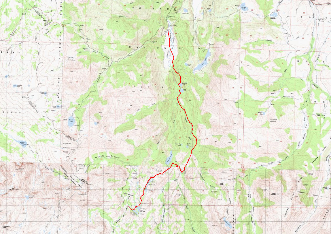
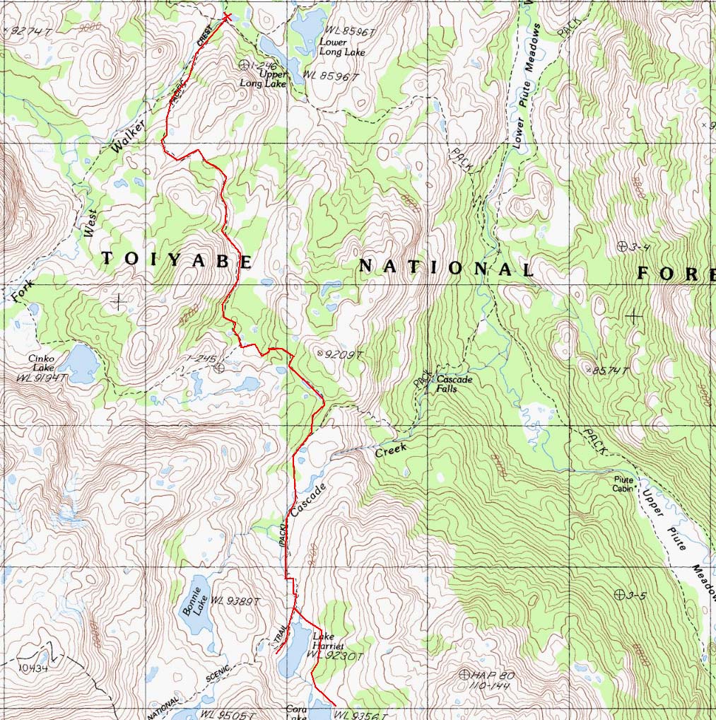
West Fork West Walker River - Leavitt Meadows to Long Lakes
Toiyabe National Forest
- Distance (one way):
- 9.97 mi
- Elevation Gain:
- 2756 ft
- Starting Elevation:
- 7149 ft
- Ending Elevation:
- 8591 ft
- Max Slope:
- 38.7 %
- Avg Slope:
- 7.5 %
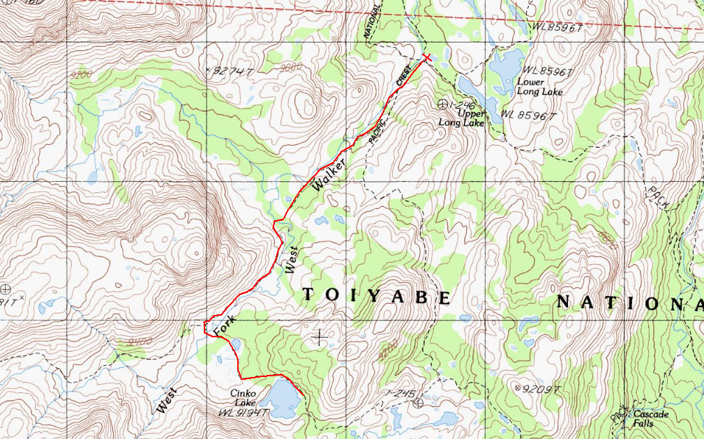
West Fork West Walker River Base Camp to Cinco Lake (1 way)
Toiyabe National Forest
- Distance (one way):
- 2.2 mi
- Elevation Gain:
- 35 ft
- Starting Elevation:
- 8591 ft
- Ending Elevation:
- 8625 ft
- Max Slope:
- 9.5 %
- Avg Slope:
- 2.2 %
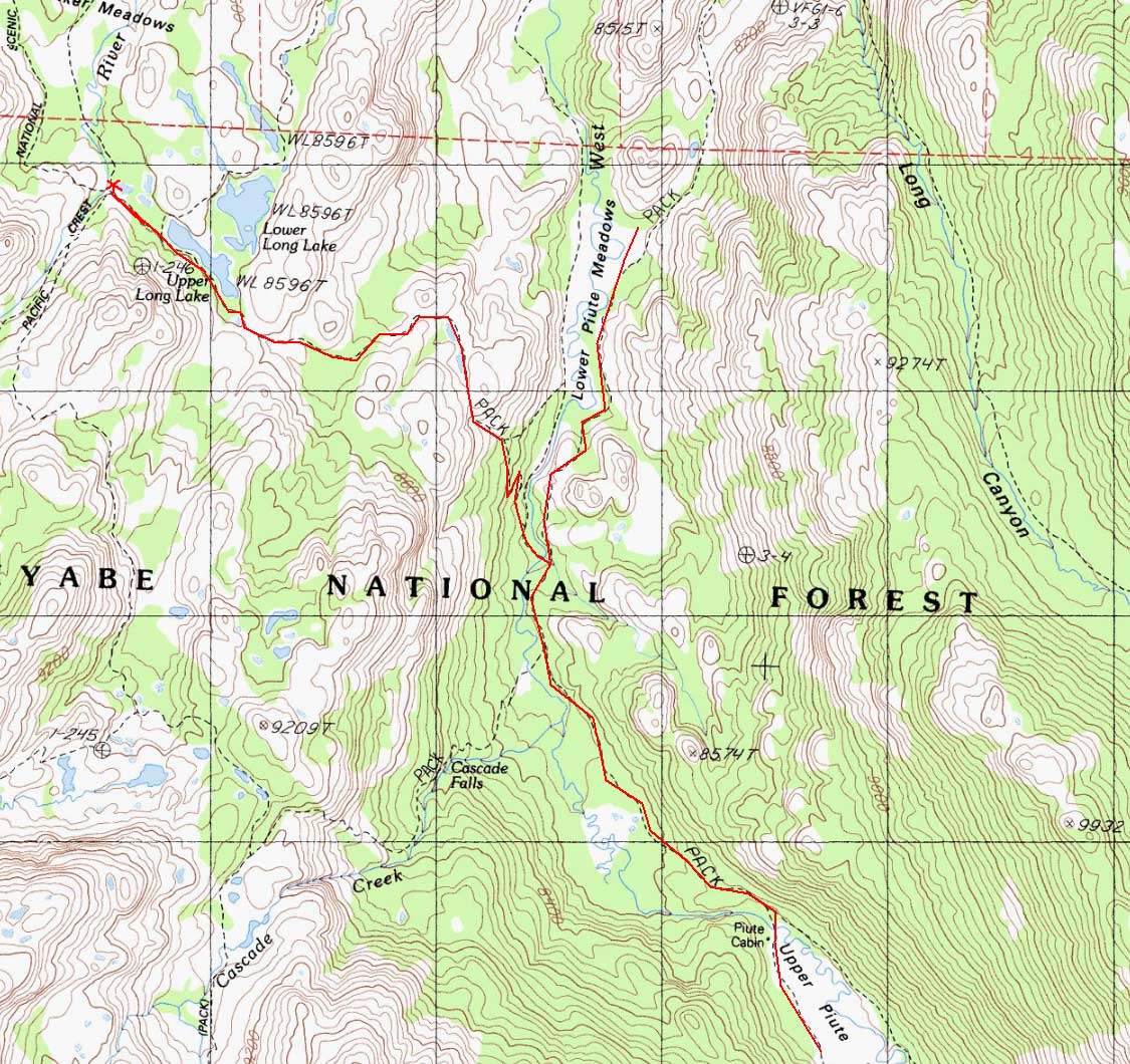
West Fork West Walker River Base Camp to Upper & Lower Piute Meadows (1 way)
Toiyabe National Forest
- Distance (one way):
- 6.76 mi
- Elevation Gain:
- 713 ft
- Starting Elevation:
- 8591 ft
- Ending Elevation:
- 8077 ft
- Max Slope:
- 28.6 %
- Avg Slope:
- 4.2 %
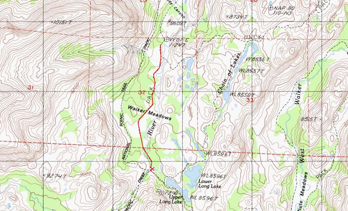
West Fork West Walker River Base Camp to Walker Meadows (Round Trip)
Toiyabe National Forest
- Distance (Round Trip):
- 2.34 mi
- Elevation Gain:
- 230 ft
- Starting Elevation:
- 8591 ft
- Ending Elevation:
- 8618 ft
- Max Slope:
- 26.3 %
- Avg Slope:
- 3.6 %
West Fork West Walker River Base Camp to Harriet & Cora Lakes (1 way)
Toiyabe National Forest
- Distance (one way):
- 3.69 mi
- Elevation Gain:
- 1110 ft
- Starting Elevation:
- 8632 ft
- Ending Elevation:
- 9362 ft
- Max Slope:
- 48.3 %
- Avg Slope:
- 7.8 %
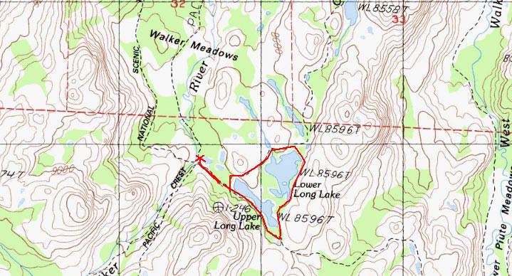
West Fork West Walker River Base Camp to Upper/Lower Long Lakes (Round Trip)
Toiyabe National Forest
- Distance (one way):
- 1.59 mi
- Elevation Gain:
- 113 ft
- Starting Elevation:
- 8591 ft
- Ending Elevation:
- 8612 ft
- Max Slope:
- 20.7 %
- Avg Slope:
- 2.5 %

