
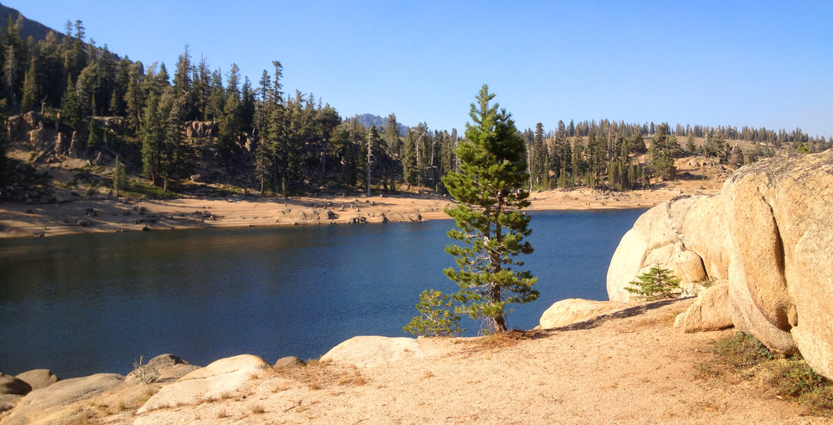
Lower Kinney Lake
(Alpine County)
Mokelumne Wilderness
September 7, 2013
Getting There
The trailhead starts at Kinney Reservoir in Alpine County. Kinney Reservoir can be reached
via Highway 4 at Ebbett's Pass. Ebbett's Pass is a 30 minute
drive from Markleeville or a 30 minute drive
from Lake Alpine.
There is parking at Kinney Reservoir right off of the highway. Kinney Reservoir is a
roadside water and is visible from the highway. I usually park on the west side of Highway 4, near the gate
at Kinney Reservoir to hike into Lower Kinney Lake.
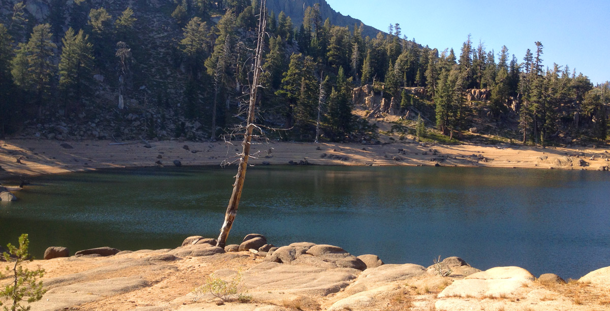
Lower Kinney Lake - October 2013
The Hike
There hike to Lower Kinney Lake is a relatively easy hike. At 1.72 miles, the distance is perfect for the first time hiker.
Coincidentally, this was the first backpacking trek I took 20 years ago into the Sierras. It has some ups and downs, but it is
usually shaded walking with modest climbs. Wrap your head around this.
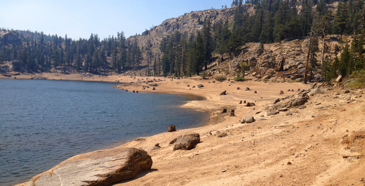
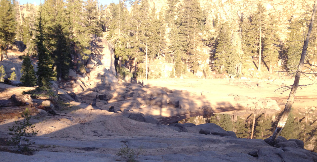
Lower Kinney Lake as the water is drawn down in fall
The Fishing
The Cutthroat were biting at Lower Kinney Lake! While fishing Lower Kinney Lake, I found action
casting from the west shore starting from the dam to around the peninsula. Historically, I have had
luck at Lower Kinney Lake casting from the peninsula when the water level is high.
That is the deepest section of the lake and the trout cruise here about 50 feet from shore and beyond. It can seem at times, that the fish are just
beyond your cast. I have used a casting bubble and a cricket and caught this fish before at Lower Kinney Lake.
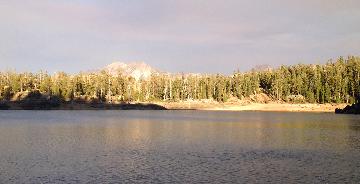
Lower Kinney Lake - looking east towards Silver Peak
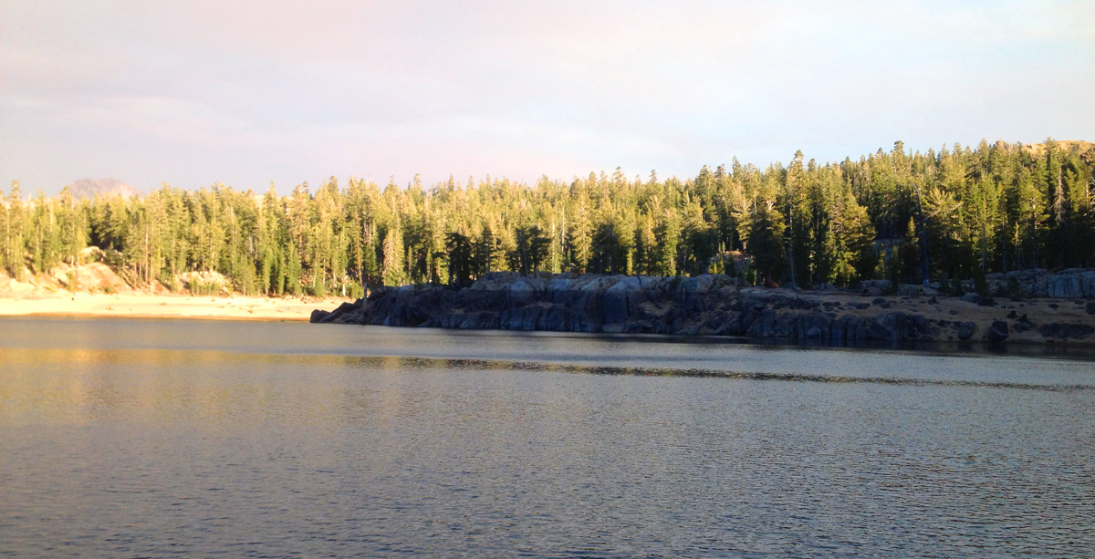
Lower Kinney Lake - looking towards the peninsula. Notice the water line. This is a deep lake.
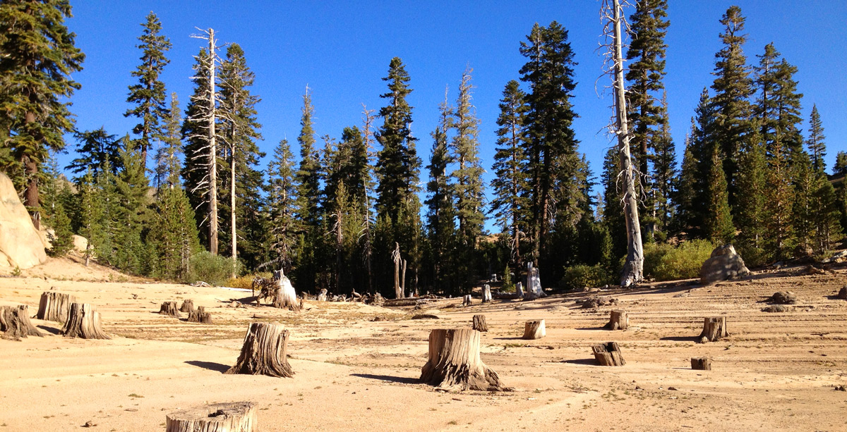
Relics of a forest that used to be
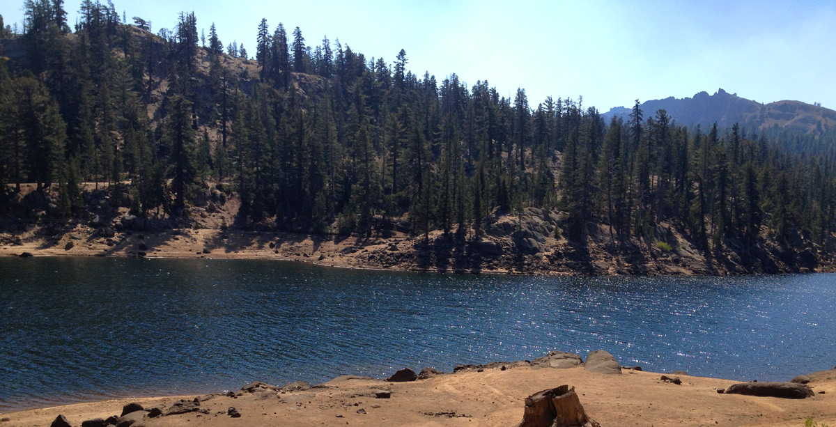
Lower Kinney Lake - October 2013
Lower Kinney Lake