 | HOME | ABOUT | LAKES | STREAMS | CONTACT | SUBMIT REPORT |
-
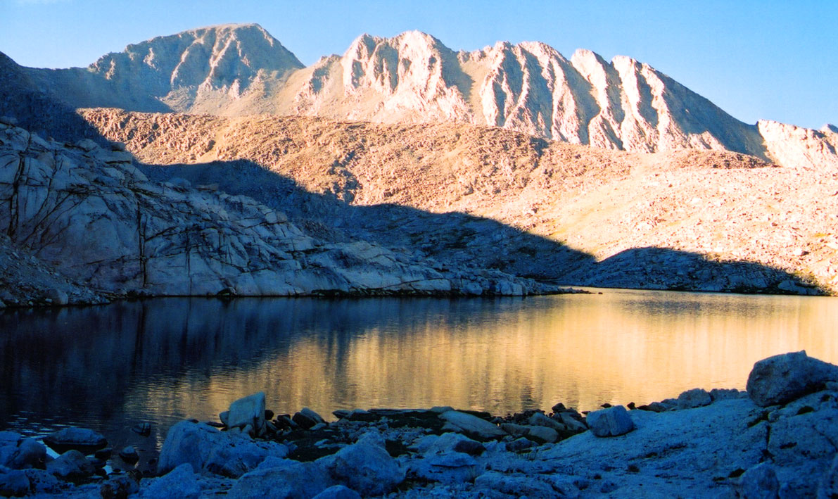
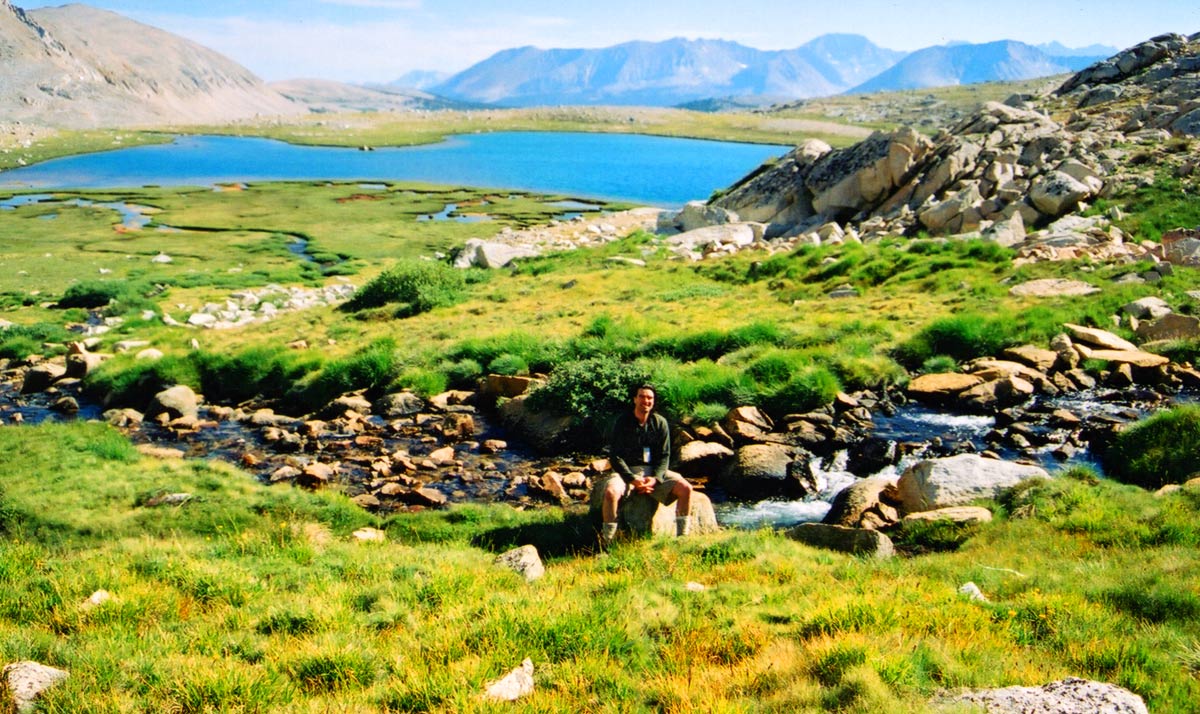
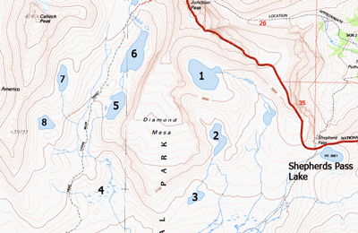
An unnamed lake on the Eastern side of the Diamond Mesa
-
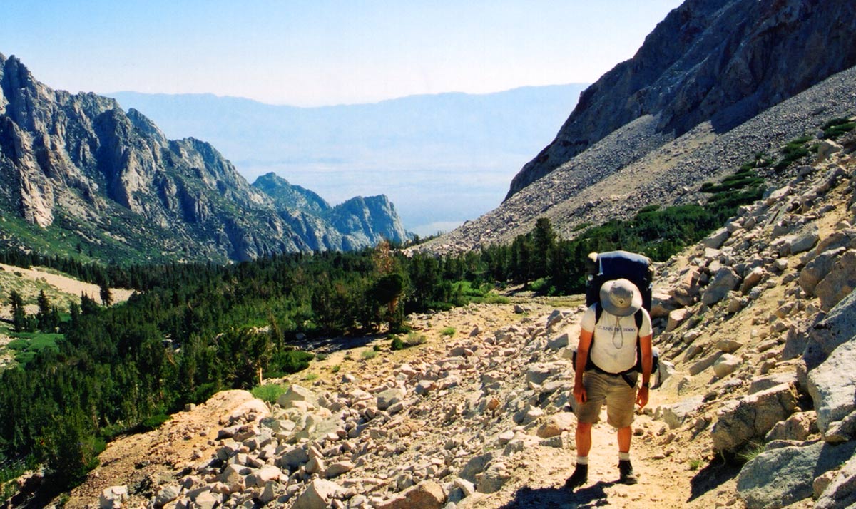
Shepards Pass Trail will make you feel like this
-
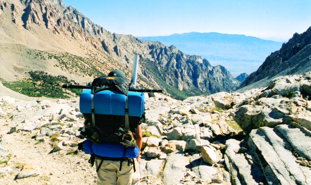
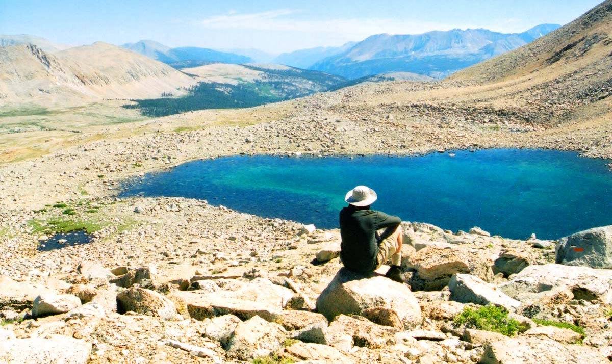
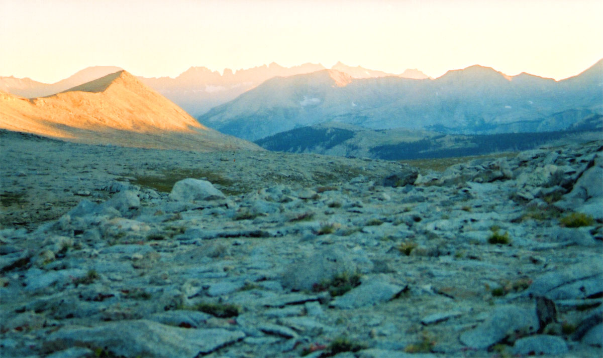
Looking East from Shepards Pass
-
Unnamed lake on the West side of the Diamond Mesa (#5)
-
Looking out over Unnamed Lake #8
-
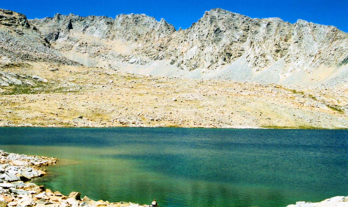
Studying Lake #6, looks fishless
-
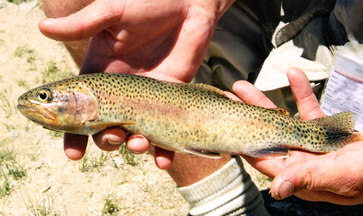
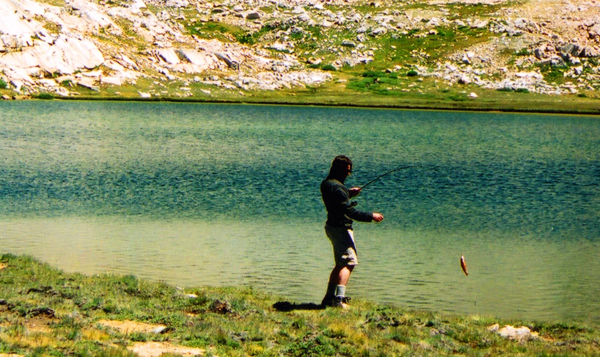
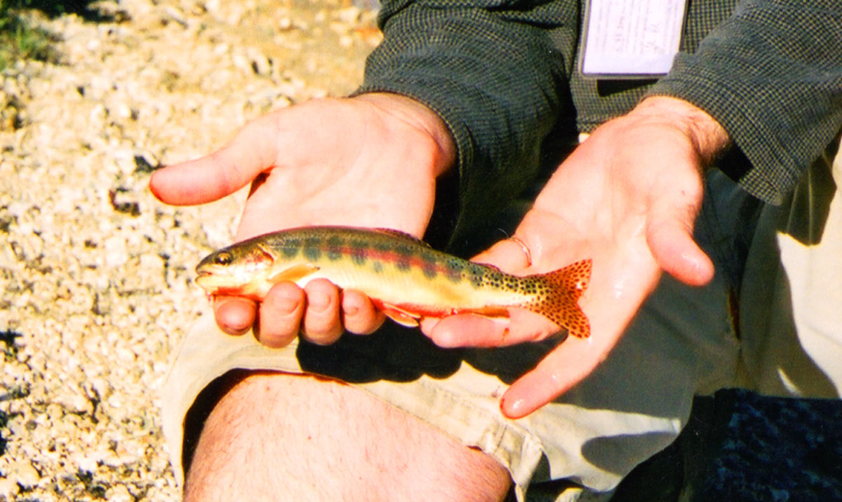
Rainbow taken from Shepherds Pass Lake
-
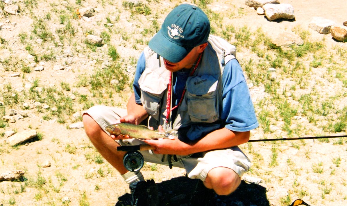
Rainbow that became lunch
-
Looking back towards Unnamed Lake #4
-
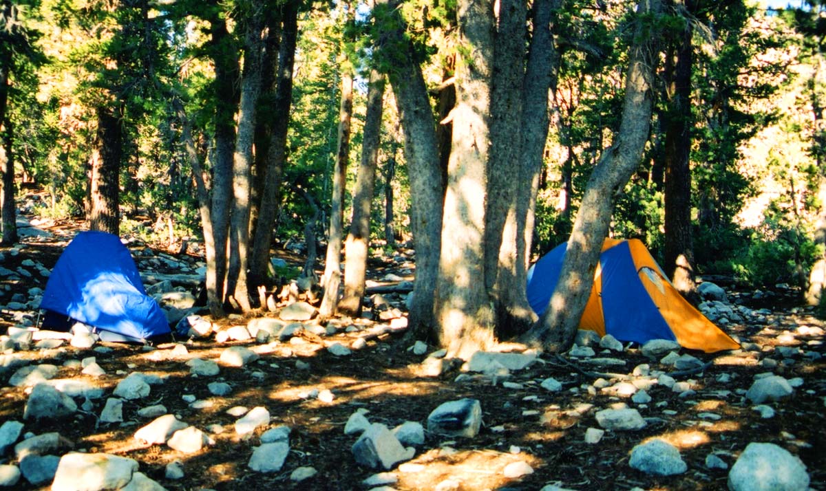
Our camp at Anvil Camp
-
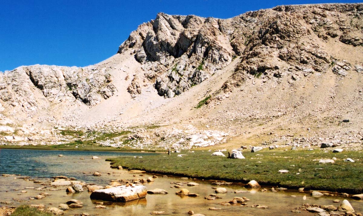
The view from Shepherds Pass Lake
-
Landing a small Brook Trout at Unnamed Lake #4
-
A Golden Trout landed at Unnamed Lake #3
-
Near the outlet of Lake #4
| Fishing: | |
 4/10 4/10 |
|
| Hiking: | |
|
9/10 |
|
| Scenery: | |
|
7/10
|
|
| Solitude: | |
|
9/10
|
|
| Distance: | |
|
|
|
| Map: | |

|
|
| Elevation Profile 1: | |

|
|
| Gallery: | |
|
|
|


Diamond Mesa - (Tulare County)
Sequoia National Park
 A Visual Reference
I have added numbers to this image to reference the unnamed lakes surrounding the Diamond Mesa. The lake at the top of Shepherd Pass
is simply named "Shepherd Pass Lake", while the others are named numerically starting from the NorthEastern side and
wrapping South and around to the NorthWest. These are not the official names of these lakes.
Getting There
The trek to the Diamond Mesa started for us at the
Shepherd Pass Trailhead which can be reached by traveling to Independence, California and taking Foothill Rd west.
The Hike
The Shepherd Pass Trail is a very difficult hike with many, many switchbacks. We found it to be difficult for us, especially
after driving for more than 6 hours and then hiking until sundown. We reached Anvil Camp just after dusk. Beyond Anvil Camp, you will
find the steep uphill climb to the summit. There is a snow patch near the top which may make you wish you had crampons and a pick. We
found the footholds of a previous traveler to suffice for steady footing during this stretch.
There is 6,000 feet of elevation gain between the trailhead and the pass. If you are unsure of yourself as a hiker, do not use this route.
The Fishing
Shepherd Pass Lake
We made camp on our second night at the lake which sits at the top of Shepherds Pass. A snow bank feeds the Southwestern side
with fresh ice-melt and we found the fishing to be quite good. The water was a little murky but the fish were biting. Pheasant tails stripped
quickly just below the surface produced fish shortly after arrival. In the evening, we landed many Rainbows using Hare's Ears and
Pheasant Tails, some of them reaching 14".
Lakes #1 and #2
We did not have any luck in these lakes. They are worth the hike up to if you are looking for a good view. We did not see any
fish rising nor did we have any luck with our flies and lures.
Lake #3
This lake has a great view of the Sierras off to the west and offers fast action for Golden Trout in the 6-11" range. Using a small
Mepps (gold) spinner, mostly on the West side, Steve was able to land many fish. We found that the North end required longer casts to reach the
fish holding near the drop-off. The West side provides plenty of good access as there are no backcasting restrictions and it is close to the drop-off
under the water where the fish are cruising.
Lake #4
This lake provided fast action fishing for Brook Trout in the 5-9" range. We found the action to be rather slow on the Eastern side but
productful near the lakelet on the Northeastern side. The entire Southern shoreline produced fish for us. The wind was a factor
here as well as shallow shorelines which required longer casts. We did not explore the West side of the lake as we had caught many fish and
we were anxious to see what the other lakes to the Northwest had to offer.
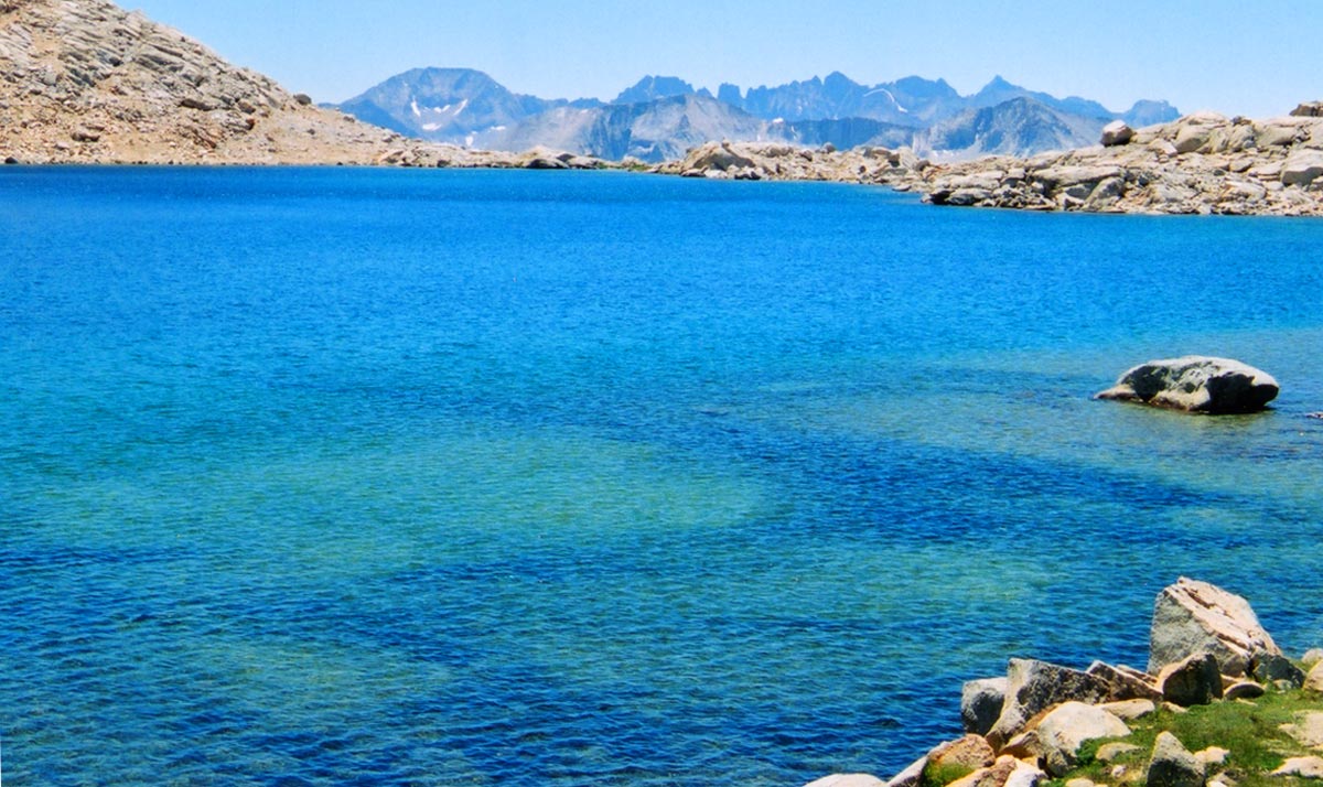
Lake #5 and #6
The water clarity of these lakes is amazing. Both lakes offer stunning High Sierra views but no fish. We found that both of the lakes on the
Northwestern side of the Diamond Mesa yield no fish; according to our skills. We saw no fish rising, no baitfish in the shallows,
and insignificant amounts of biomass in general at these lakes.
Lake #7 and #8
These lakes nestle up to the ridge that lies West of the Diamond Mesa and west of the PCT. We did not have any luck at these
lakes even though they appeared to have significant biomass. There may be fish in these lakes, perhaps we could not catch them.
|