 | HOME | ABOUT | LAKES | STREAMS | CONTACT | SUBMIT REPORT |
-
Granite Lake, Desolation Wilderness
-
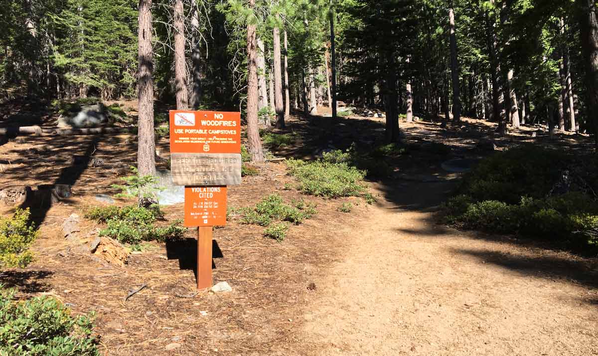
The trailhead at the far west side, Bayview Campground
-
On the trail before you head west towards Granite Lake
-
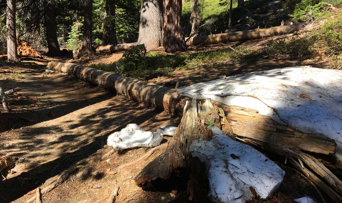
Snow on the trail soon after the Wilderness boundary
-
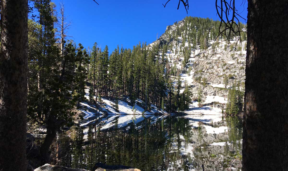
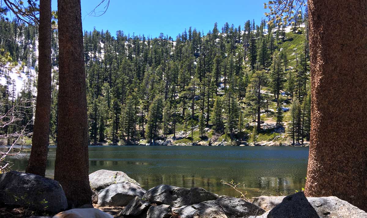
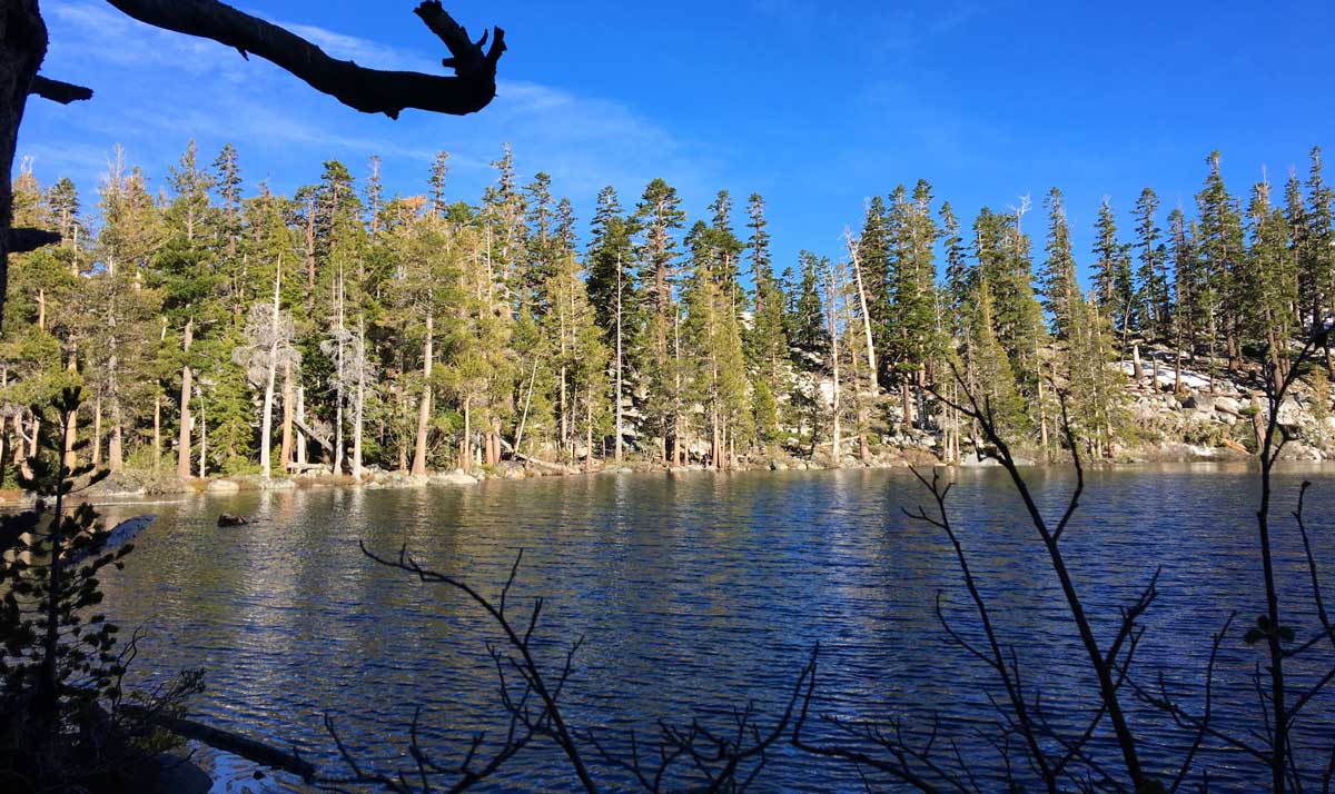
Granite Lake, Desolation Wilderness, near the outlet
-
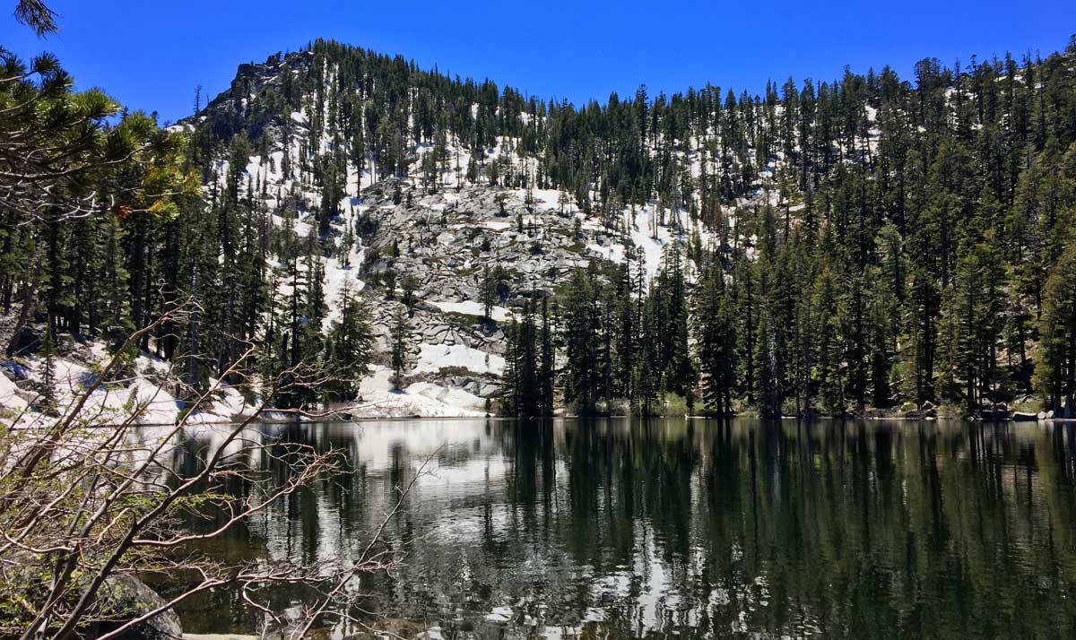
Granite Lake, Desolation Wilderness
-
The hillside is covered in snow.
-
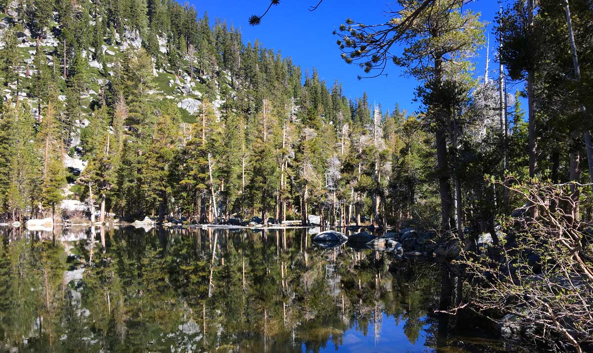
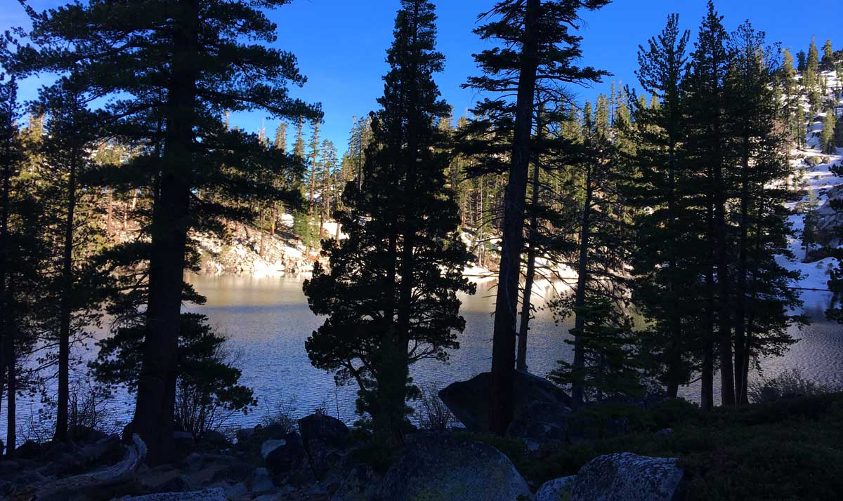
The east side, outlet area
-
Looking at Granite lake from the north side
-
The approach to Granite Lake, sundown
-
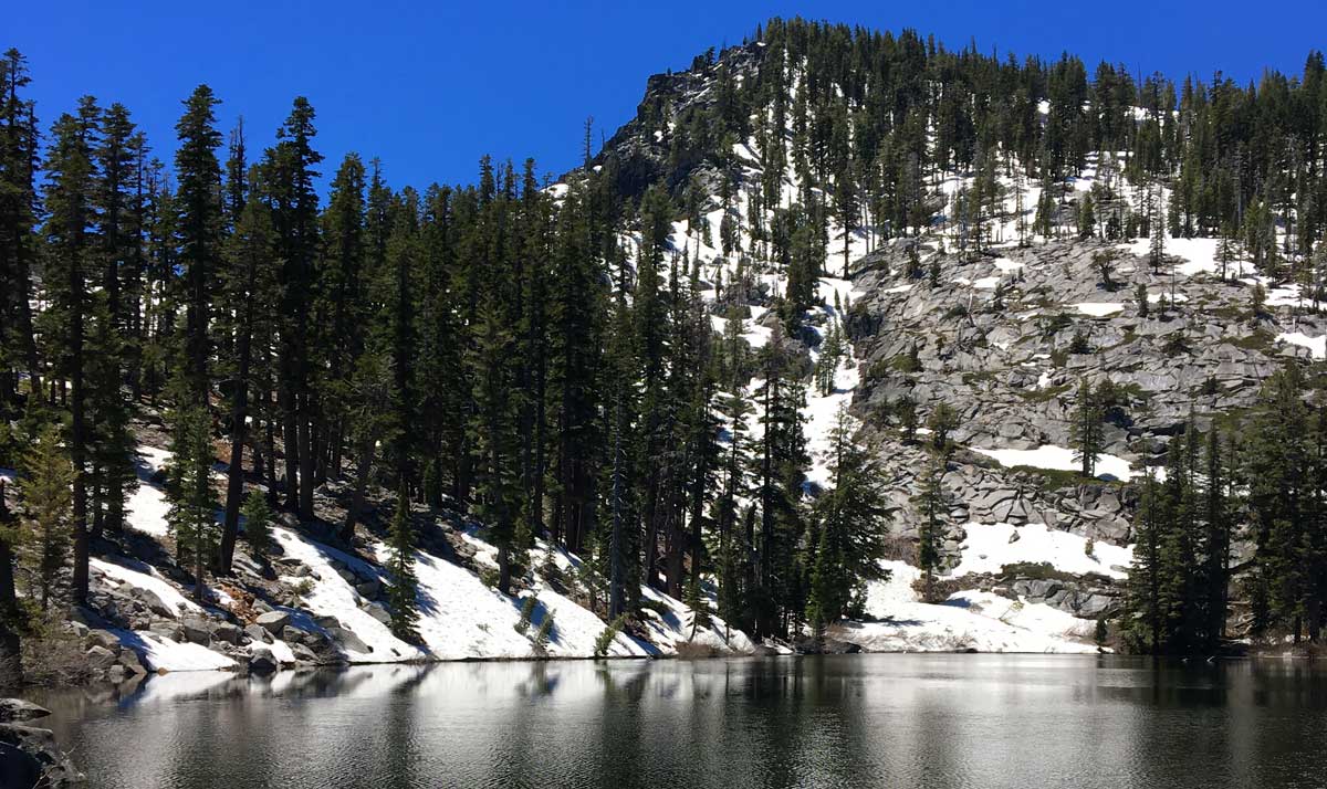
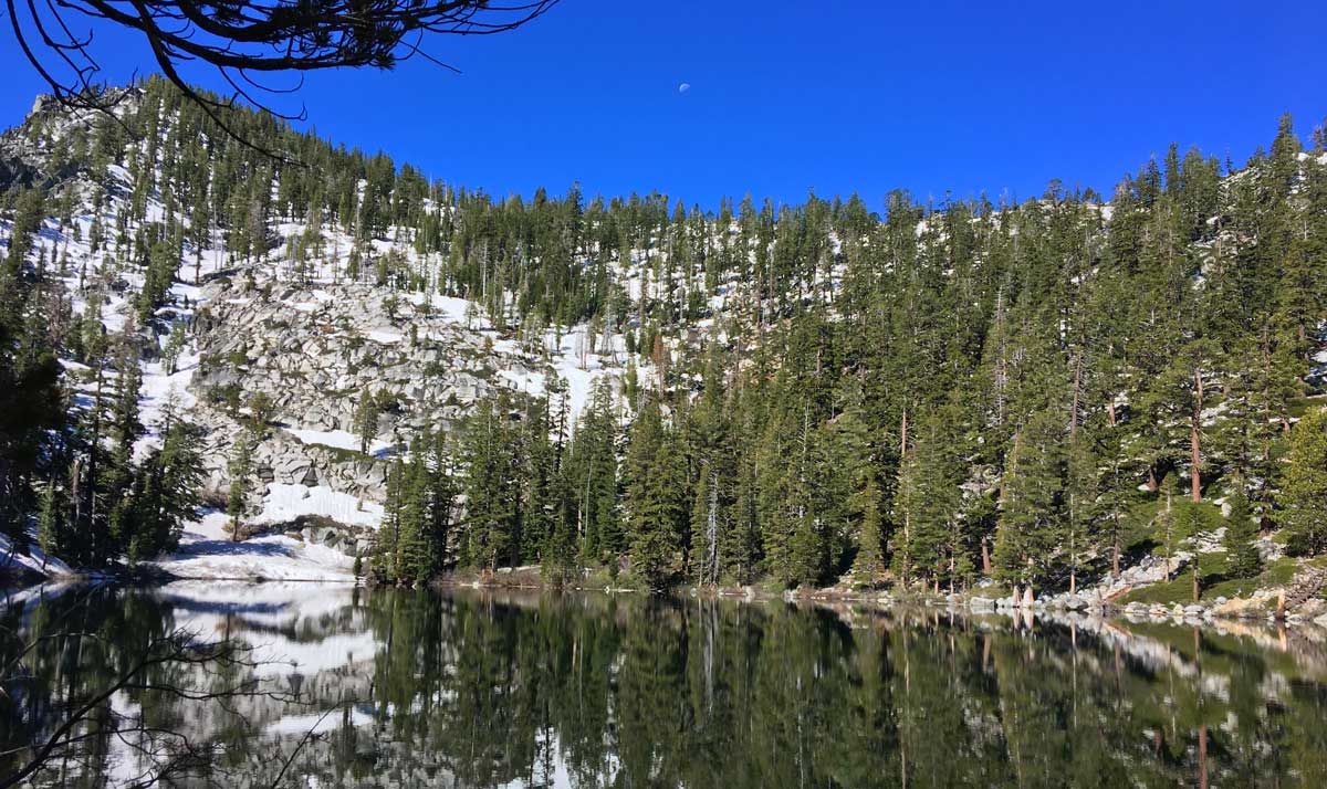
The snowbound shores of Granite Lake
-
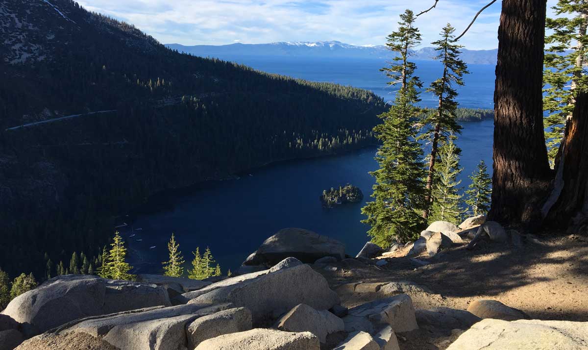
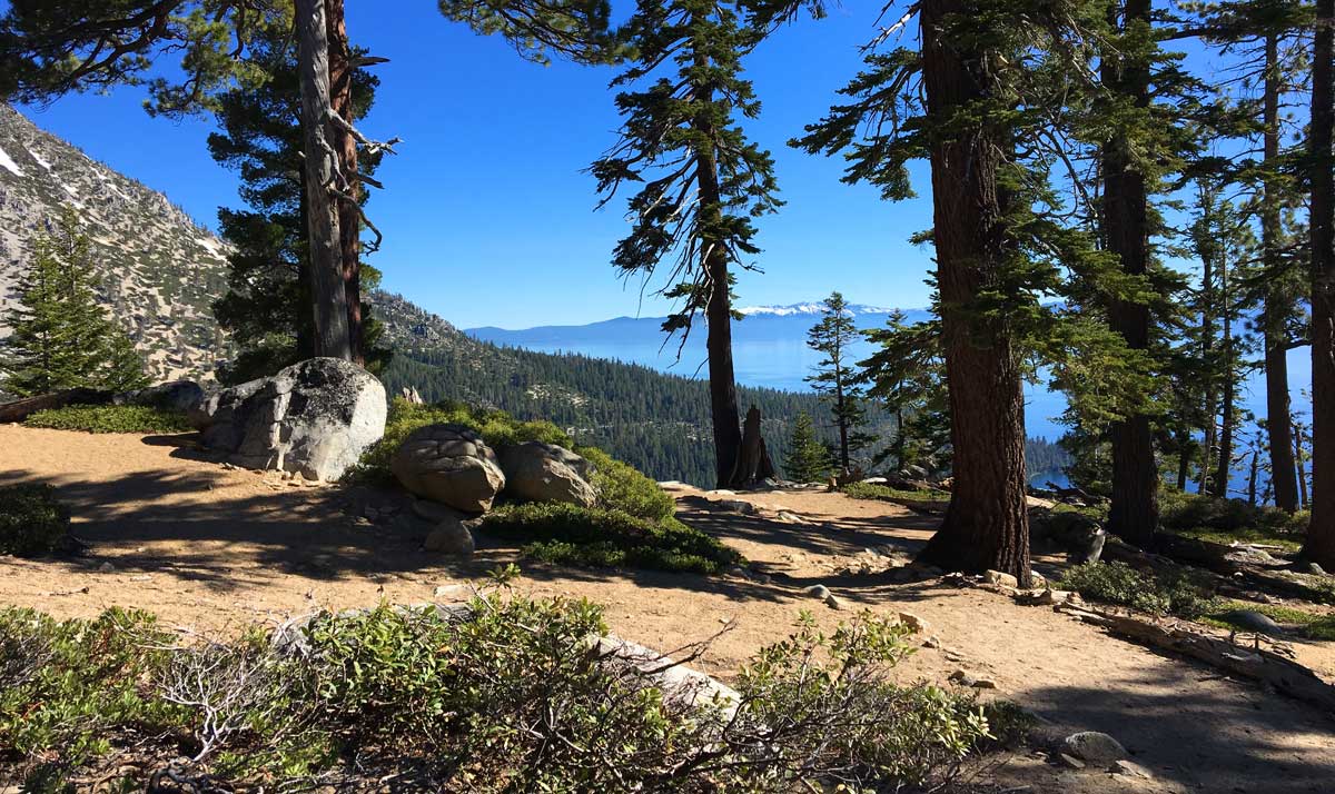
The view of Emerald Bay on the hike out
| Fishing: | |
|
|
|
| Hiking: | |
|
|
|
| Scenery: | |
|
|
|
| Solitude: | |
|
|
|
| Distance: | |
|
|
|
| Map: | |

|
|
| Elevation Profile: | |

|
|
| Gallery: | |
|
|
|
|
|
|
|
|
|
|
|
|
|
|
|


Granite Lake - (Eldorado County)
Desolation Wilderness
June 16, 2017
Getting There
To reach Granite Lake in Desolation Wilderness, start at
the Bayview
trailhead near Emerald Bay at Lake Tahoe. If the campground is open, you might be able to park close to the trail as there
are a few spots up next to the actual trailhead. The trailhead serves the Granite Lake route and the Cascade Falls trail.
If the campground is closed, park on the dirt near the gate, on the highway. This can be a busy area during peak season
so expect to see a lot of people.
The Hike
The hike is a short and steep venture winding through shaded woods. The trail switches back a few times before
you reach the wilderness boundary and soon after that, Emerald Bay comes into view offering picturesque scenery.
After you climb the long, northbound switch and cross into Desolation Wilderness, the trail mellows out as you
approach the lake through shady forest. After one mile of hiking you will drop down into the Granite Lake bowl.
Although short, the incline may be challenging for unseasoned hikers. If you bring kids, take a lot of breaks and
you'll be fine.
The Fishing
When I reached the lake I wanted to get away from the north side of the lake where the trail meets the water. People tend to
flock to a few spots on the north side directly after arriving at the lake. I decided to head around the east side of the lake,
through trees and over deadfall, across the outlet creek which required some log crossings - nothing serious. I settled
on the southeast corner where I set up a tent and had an open space to myself, away from the day hikers. I had only 2 groups
come by my campsite. Even though I had set up a tent and was readied for an overnight stay, I chose to leave by early evening
as the fishing was slow and the fish were wary.
I tossed out a nightcrawler upon arrival but, like many heavily trafficked areas in Desolation Wilderness, the fish
weren't falling for that old trick. I wondered if the lake had been fished out due to pressure but I put that theory
to rest after seeing schools of Brook Trout fry zipping around the shallows close to shore. Soon I began to see an
aggressive trout plucking insects from the surface near the outlet and I set up my fly rod and readied myself for some
fly fishing. I made my way over to some protruding rocks near the outlet and began casting a green humpy with a hare's
ear dropper. At first my well-placed casts garnered no attention but eventually I had an interested fish take a whack at my
humpy. I missed the hookup but didn't give up.
I noticed a remarkable event: a Flying Carpenter Ant fallout occured leaving dozens of stranded insects scattered across
the outlet area. After casting to a what appeared to be a sizable trout for a while, he eventually gave a hard strike on
my humpy and ant dropper and the hookup was a success.
I felt the strength and weight of the fish on my 5 weight rod and the fight was on! After only a few moments of fighting, this
Brookie broke my line, making off with my humpy and dropper. It was hard to tell if I would get another shot at a fish in this spot
but I gave it a great number of casts as the casting location was prime, allowing me to fan cast over a large area. It dawned on me
that there were only two fish working the outlet and I had probably dealt with both if them at this point. I decided to wait for
sundown, hoping for a good midge hatch. Sundown came, and I saw no more rises, although I sent a great number of casts, I saw
no ripples or otherwise. I packed up and hit the trail out. On the way out I hit prime photograph time on Emerald Bay, a thousand
feet below.
|