 | HOME | ABOUT | LAKES | STREAMS | CONTACT | SUBMIT REPORT |
-
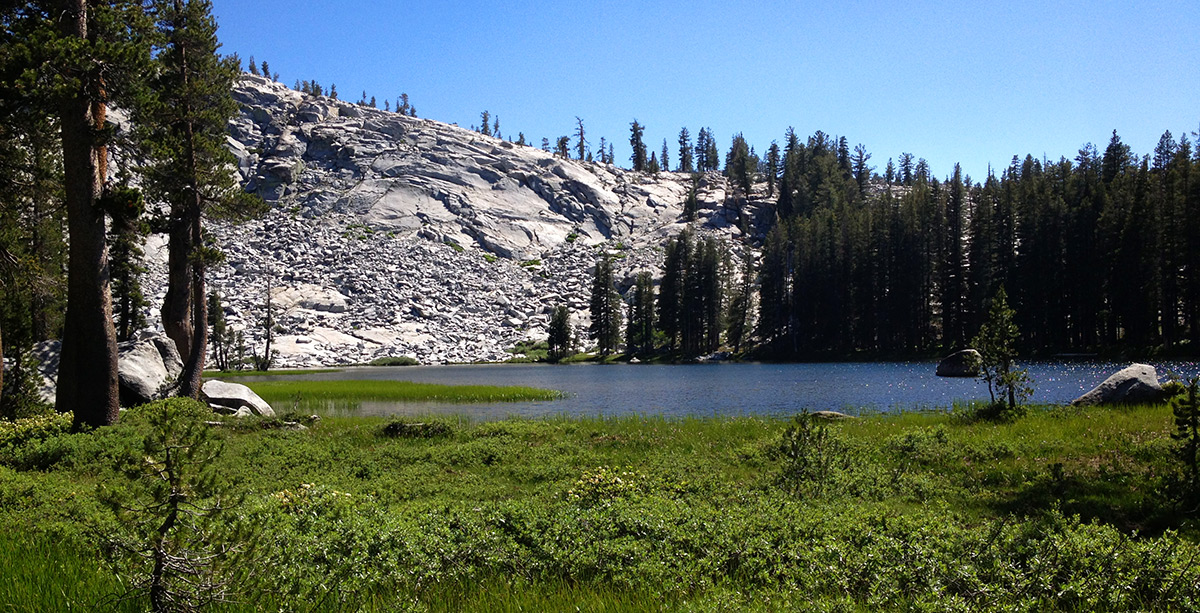
Lower Merced Pass Lake
-
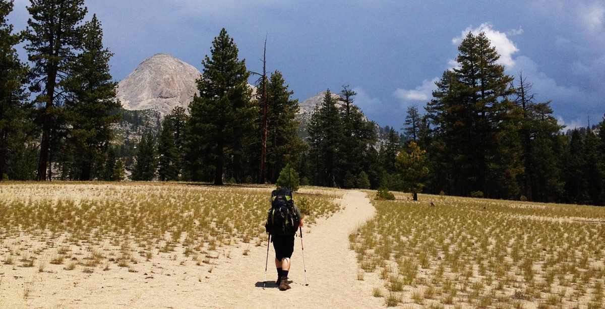
On the trail to Lower Merced Pass Lake
-
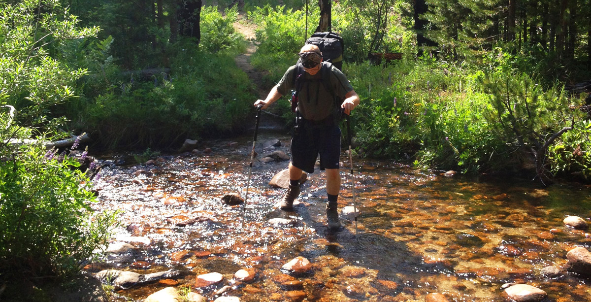
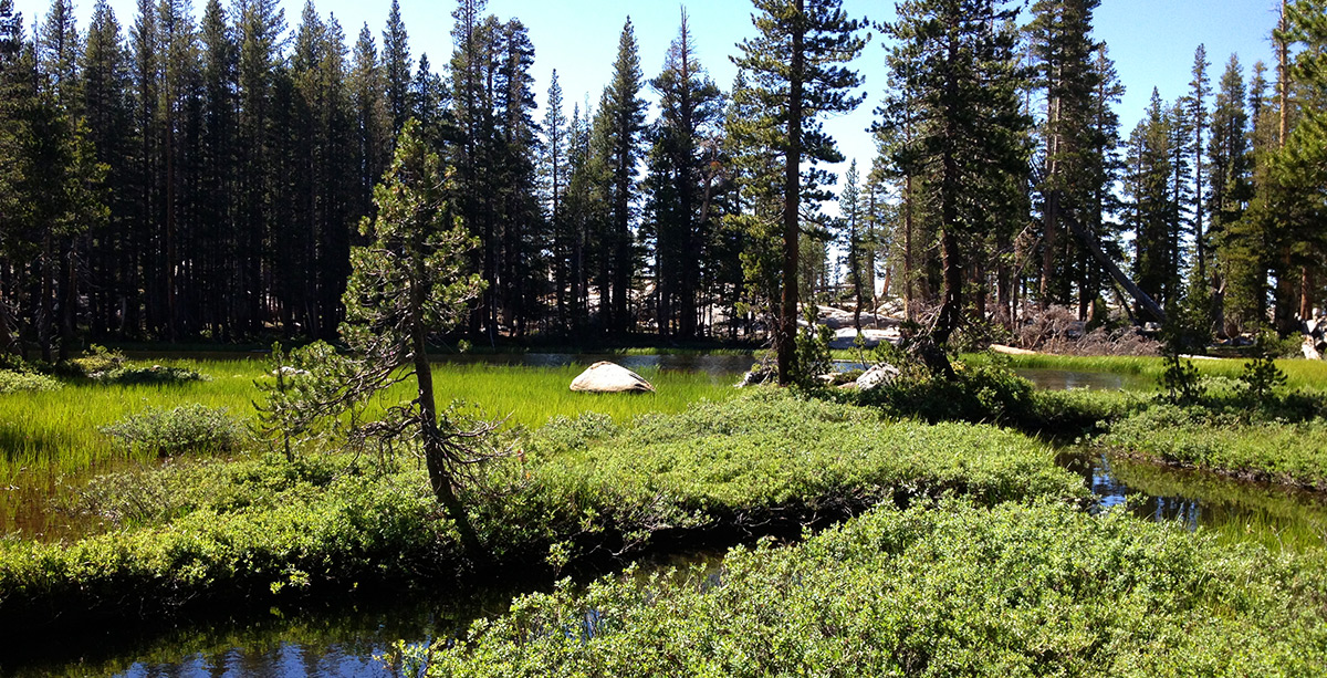
Crossing a tributary to Illiloutte Creek
-
Crossing a tributary to Illiloutte Creek, again
-
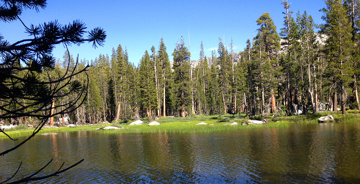
Lower Merced Pass Lake
-
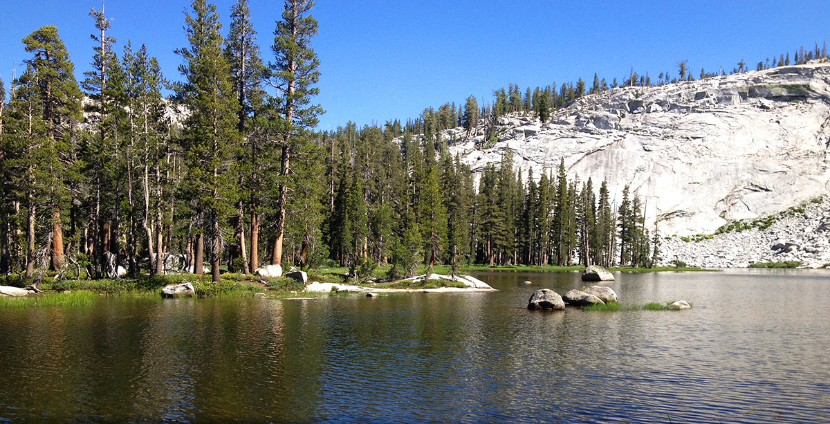
Lower Merced Pass Lake
-
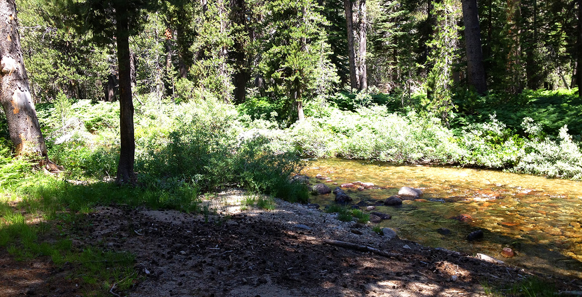
Lower Merced Pass Lake outlet creek
| Fishing: | |
| 0/10 | |
| Hiking: | |
 7/10 7/10 |
|
| Scenery: | |
|
7/10
|
|
| Solitude: | |
|
7/10
|
|
| Distance: | |
|
|
|
| Map: | |

|
|
| Elevation Profile: | |

|
|
| Gallery: | |
|
|
|


Lower Merced Pass Lake - (Madera County)
Yosemite Wilderness
Getting There
We chose the Mono Meadow trailhead to begin
our journey to Lower Merced Pass Lake, deep in the Yosemite back country.
Mono Meadow is located on Glacier Point Rd. It has a spacious parking area. This is not the only access point
to Lower Merced Pass Lake, but we had other destinations in the area.
The Hike
From Mono Meadow you will reach two more trail junctions along the way to Lower Merced Pass Lake.
Continue towards Mono Pass
and Ottoway Lakes
when you reach the signs. It's about 11 miles until you reach Lower Merced Pass Lake.
The hike is somewhat grueling. It is almost all uphill for the last 8 miles. The hike to Lower Merced
Pass Lake is not for the faint of heart. After following Illilouette Canyon south and uphill you
eventually reach a trail junction for Ottoway Lakes and Mono Pass. If you reach this juction you have gone too far.
Most people walk right by the "turn off" point to Lower Merced Pass Lake. Lower Merced Pass Lake
is not visible from trail so start walking towards it when the trail gets close to the creek at the top of the hill and
before you reach the sign.
The Fishing
The fishing is NOT good at Lower Merced Pass Lake! Lower Merced Pass Lake is
Yellow-Legged Frog territory. We ran into USGS scientists who were at
Upper Merced Pass Lake to study the frogs.
Frog lovers - enjoy! Fish Lovers move on.
|